GeoPrognosis
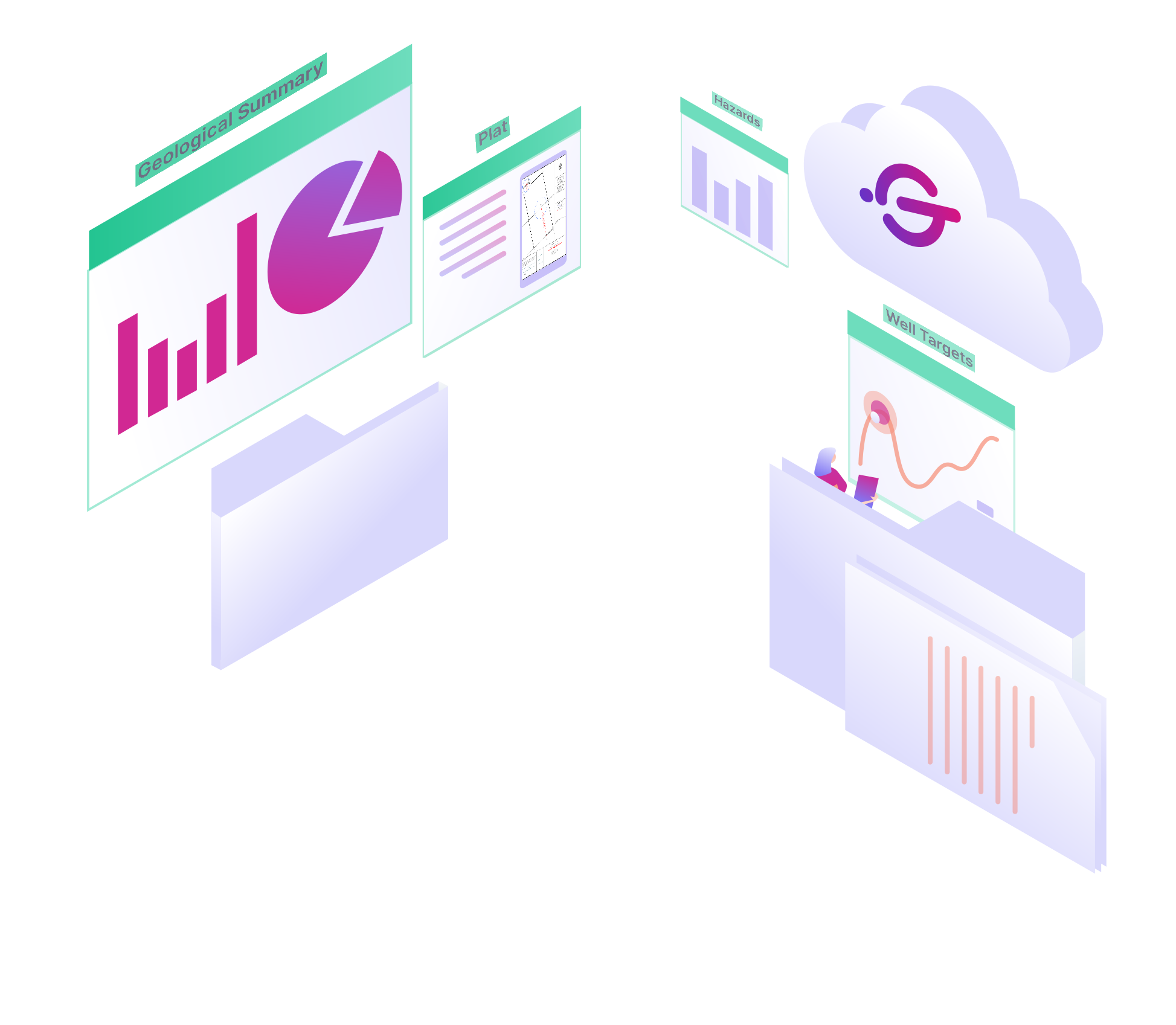
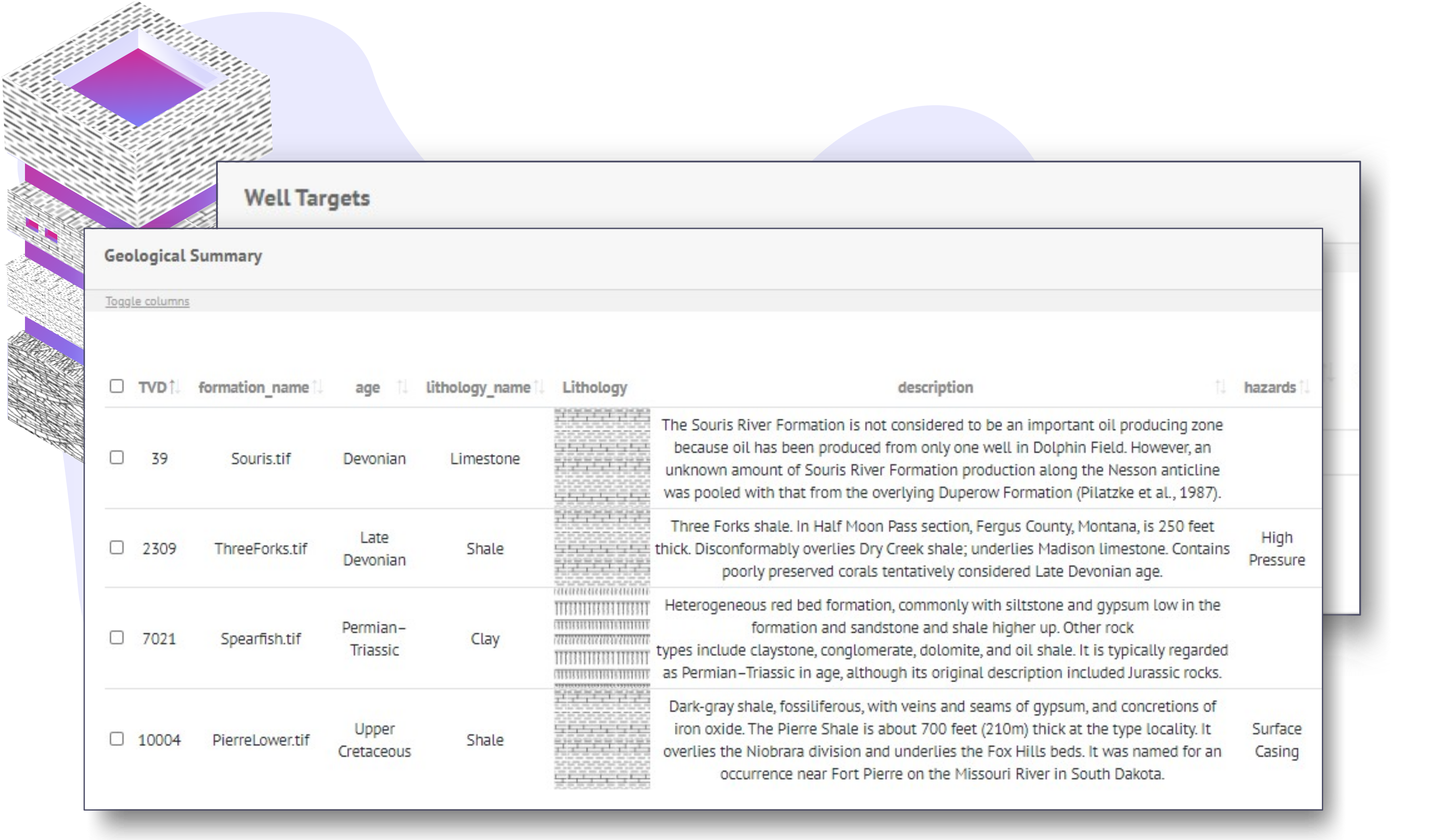
A process that perfects the communication chain is a necessity when a team collaborates with large dynamic datasets. The GeoPrognosis Extension generates chronostratigraphic visualizations with corresponding formation characteristics and hazards for all your assets at once. Create a seamless collaraboration flow between regulatory, subsurface, drilling, & management. Give this tool a go, and you'll see it's a game changer.


How It Works
Wells, formation tops, & section lines are key ingredients to build your geological prognosis report. The tool focuses on catching changes across your uploaded data and keeping your reports up to date so you can focus on understanding the subsurface world.
Reports are attached to your wells and ready for your team to contribute, share, & make decisions quickly.

Robust
Generate reports for all your wells at once. Take mountains of work off your shoulders without sacrificing the way you like to do your work.
Adaptive
Edit general well information, footage calls, formation tops, & more as the design evolves. Your data model will always be up to date.
Reliable
Know your data model will always be up to date while maintaining accessibility across the full scope of your project team members.

