
Pro-Plat
Traditional workflows separate data storage/acquisition from data consumption. Once you have the data, you still have to process it with a CAD-like function to create a plat or a map. GeoNote automates the CAD process, meaning that having the data is also having the plat.


How It Works
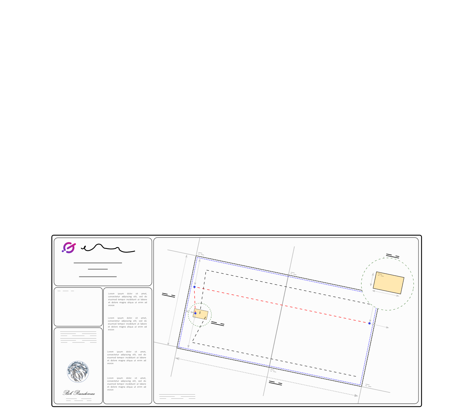
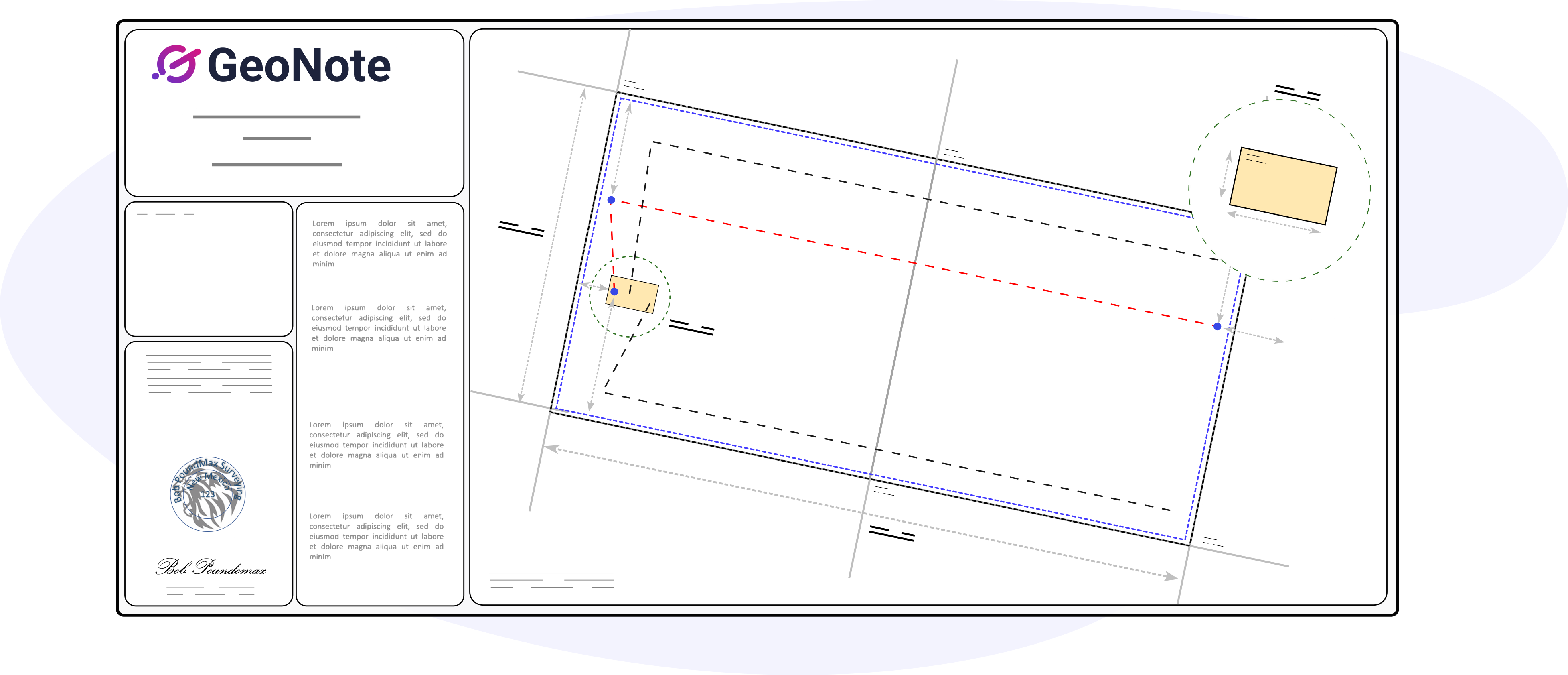
GeoNotes’s advance algorithms parse your survey data to automatically create stunning, survey-grade plats. Footage calls and distance indicators are calculated from the bounding geometry (sections/leases).
All changes made to the underlying data and associated plats are tracked. Plats are automatically flagged should they become out-of-date.
Precise
Having everyone on the same page increases the alignment between team members, customers, and partners.
Fast
This toolset can save 4-8 hours per plat by cutting out multiple steps required to format and cleanse data using today’s toolsets.
Organized
Your team members and your customers can have access to the finished plat as soon as you’re ready.